Early snow in Pullman doesn’t mean colder weather
November 15, 2017
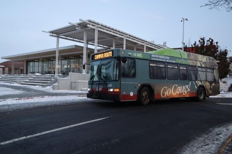
The early snow in Pullman from the first weekend of November may have seemed like a sign of another cold winter, may have seemed like a sign of another cold winter, but that won’t necessarily be the case, according to Nic Loyd, a WSU meteorologist.
“Most of November would be ice-free,” Loyd said.
Last year’s first snowfall was on November 16, which aligns with the average date for snowfall in Pullman.
Loyd said there will not necessarily be more this winter.
“November weather doesn’t correlate well with how the winter outlook will be like, compared to those of later months,” Loyd said. “Past years saw similar early snowfall, but it didn’t necessarily result in colder winter.”
The recent wintry storm in the area is a sign of a La Nina that’s developing in the Pacific Ocean. La Nina causes colder and wetter winters in the Pacific Northwest, which affected last winter as well.
However, Loyd said the expected coldest temperature cannot be known for sure because of the variability in weather, though he predicts that it could be about negative 5 degrees Fahrenheit.
As for whether the early snowfall means the early end of the winter season, Loyd said it is difficult to predict.
“It might be slightly tilted towards colder winter than usual,” he said, “but still there is no large-scale indicator for prediction at this moment.”
Reporting by Sang Jung


