Snow and hazardous conditions expected Wednesday morning
Ridge of high atmospheric pressure leaving the area causing storm
February 13, 2018
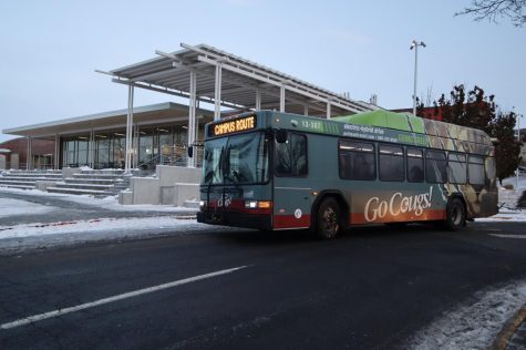
Pullman should get six to eight inches of snow by midday Wednesday, according to the National Weather Service’s Spokane office.
Weather forecaster Bryce Williams said the winter storm would begin tonight, but should only lay down about an inch of snow for the first few hours. The heaviest snowfall, Williams said, would bring about four or five inches between 4 and 10 a.m. Wednesday morning. Another inch or two would fall after 10 a.m.
“Winter travel conditions could be hazardous,” Williams said, noting the worst of the storm would be during the morning commute.
With the especially cold atmospheric temperatures, he said, the snow should not be very wet and heavy.
Williams said a ridge of high atmospheric pressure over the Western U.S. has held off the snow and raised temperatures. Now, a trough of low pressure coming from the northwest will destabilize the air and generate lift.
“That instability and lift will combine to give us snowfall,” he said.
Temperatures would increase throughout the week, Williams said, after the trough moves south and leaves the area. He said he expected it to be unusually warm on Saturday with a high of 46 degrees, about five degrees above average temperature for the time of year.
Beyond Saturday, Williams said, the temperatures should drop back down to below average.
“People have gotten lulled into a sense of it being spring,” he said. “We still have plenty of winter left.”


