Below-average temperatures to persist in Pullman
Plan to stay inside for quite a while if you hate the cold
OLIVER MCKENNA | DAILY EVERGREEN FILE
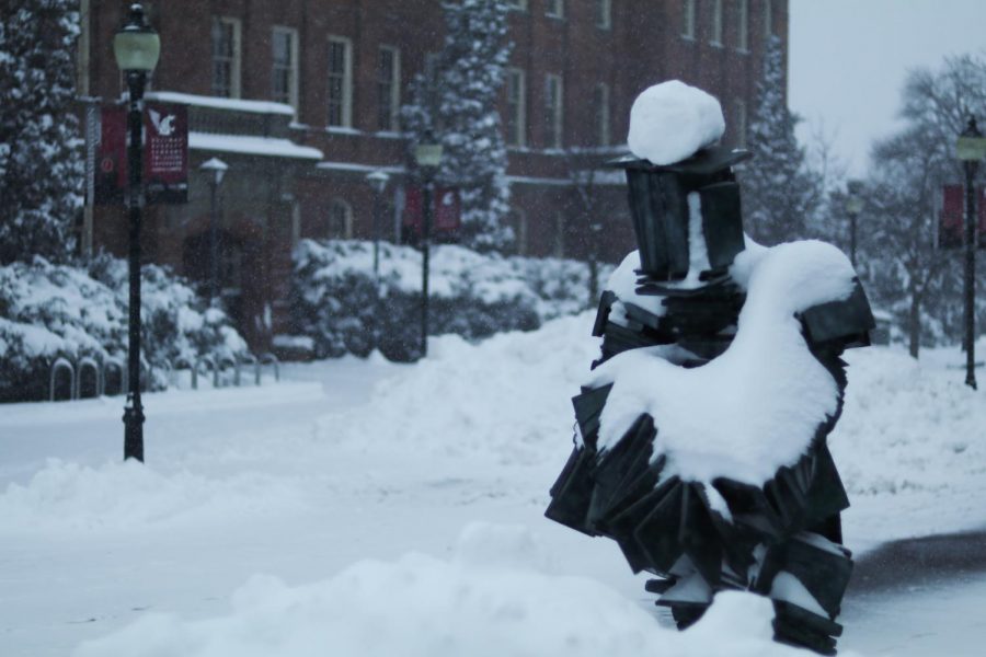
Pullman has experienced low temperatures for the past few week. Forecasts show that more snow and cold weather is here to stay.
February 21, 2019
For nearly two weeks, students, faculty and staff at WSU have battled a vicious cold spell. Those same people should brace themselves for more because the weather isn’t likely to warm up anytime soon.
At the Spokane National Weather Service branch, Observation Program Leader Mark Turner confirmed temperatures have been significantly colder than usual for the Pullman area.
“For Pullman this time of year, the average highs are around 43 degrees, and the average lows are around 28,” he said. “Our highs are lower than our average low, since the 4th, and the last couple of days have been 10 to 15 degrees below normal.”
Wednesday and Thursday evening could see temperatures dip into the low teens or single digits, he said, and if you were hoping for melting snow, you might not want to hold out: Temperatures may not rise significantly until March.
Heading into the weekend, Pullman locals may see more snow headed their way.
“The next time we’re seeing big snowfall would be Friday night into Saturday,” Turner said.
So far, Pullman has floundered through about 20 inches of snow, according to information from the National Weather Service. The all-time record for February snowfall was 36.1 inches in 1949.
Meanwhile, Pullman’s record low for the month was a frosty -24 degrees on Feb. 2, 1996.


